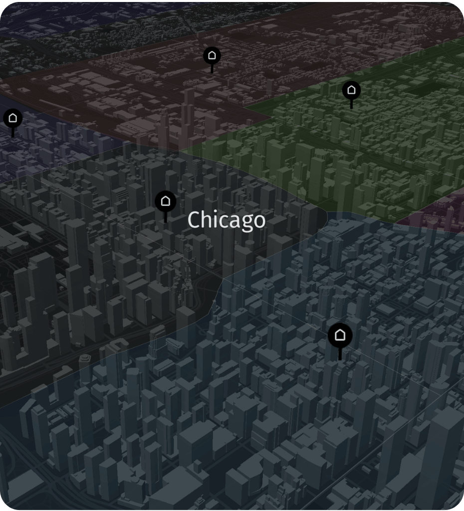
Infinite possibilities
Our maps are not only a background. Choose from hundreds of layers, map codes, traffic data, restrictions for heavy goods vehicles, POIs, traffic jams, traffic jams and many more.
Widely used
Store locator? Fleet and transport management system? CRM? Geomarketing? Mobile application? Supply data management? No problem. We will help you choose the right solution tailored to your needs.
Transport and logistics
These are the first maps for transport that contain such a wide range of data and possibilities. Overcome your geographical and logistical challenges with us.
WHY PLACEMATIC Digital Maps
Why US companies use Placematic Digital Maps.
Six things engineering and data teams consistently call out — built into every plan, from pilot through enterprise.
Weekly updates
Topicality
The basis of good quality maps is their timeliness. Every day 28 terabytes of data are collected which are later processed and made available in weekly updates.
Sub-meter accuracy
Precision
We provide the highest level of data accuracy required for conducting business analyses or determining travel times.
190+ countries
Global coverage
Our maps cover 190 countries and are available in many languages. Thanks to different styles and adaptability, you can use them for many different applications.
Mobile · Responsive
Tailored to needs
We provide several different map styles such as hybrid map, satellite images, versions for mobile devices, current traffic data and many more — so that mobile and visual businesses can use spatial data more effectively.
REST · Tile API
Permanent access
We provide constant access to the most current data in various formats, themes, layers and at many levels of scale.
Leaflet · HERE · OpenLayers
Flexibility
You can use our maps with the help of the most popular mapping libraries such as Leaflet, HERE, and OpenLayers. Moreover, interactive maps improve user engagement across platforms.
Try it yourself
Choose from many available map layouts and suppliers.
Switch between map styles to see which fits your product best — standard, satellite, traffic, and dark mode all available via the same API endpoint.
Live Placematic Digital Maps API · Weekly updated map data
PRICING ESTIMATOR
Estimate Your Digital Maps API Costs.
Compare estimated costs for Google Maps vs. Placematic Maps Tile API based on your monthly volume.
SEE ALSO
Related solutions
USE CASES
Who uses Geocoding API
Retail & E-commerce
Embed store locators and network maps directly in your website or app. Show customers where you are — with branded map styles that match your product.
Fleet & ELD
Power driver-facing navigation apps and dispatcher dashboards with map tiles. Traffic overlays and transport-specific layers built in — no extra configuration.
SaaS platforms
Add an interactive map to any feature in your product with a single script. Customizable styles, layers, and overlays — without building map infrastructure from scratch.
Frequently asked questions.
It’s a map tile and visualization API built on HERE map data, delivered through Placematic. It lets developers embed interactive, customizable maps into any web or mobile application — with multiple map styles, traffic overlays, satellite imagery, and transport-specific layers available via a single API endpoint.
Standard road map, satellite imagery, hybrid (satellite + road labels), dark mode, and traffic flow overlay. Each style is available at multiple zoom levels. You can also request custom styles tailored to your brand colors and product UI.
Placematic Digital Maps tiles work with Leaflet, OpenLayers, and the HERE Maps SDK — the three most widely used open-source and commercial mapping libraries. If you’re already using one of these, integration is a matter of swapping the tile URL.
Map data is updated weekly. Every day 28 terabytes of data are collected, processed, and released in weekly updates. This makes Placematic maps significantly more current than providers who update monthly or quarterly.
Yes. Traffic flow and traffic incident layers are available as separate overlays — you can add them independently on top of any base map style. Data updates in near-real-time from GPS probes, sensors, and connected vehicles.
At 500,000 monthly tile requests — Google Maps costs approximately $820. Placematic Digital Maps costs approximately $56. That’s a saving of $763 per month at that volume. Use the cost calculator on this page to estimate your specific volume.
Yes. Placematic map tiles are responsive and optimized for mobile rendering. The HERE Maps SDK for iOS and Android is available through Placematic — the same Gold Partner contract covers both web tile API and mobile SDK access.
Submit a pilot request at placematic.com/start-trial/ and we’ll provide API credentials within 1 business day. No credit card required. If you want to see the maps first, use the interactive demo on this page or book a 20-minute call.
Get Placematic Digital Maps API demo, pricing & service details.
Set up your maps API trial today. Send us your email — no credit card required to start.
Placematic USA LLC · Rolling Meadows, IL · We respond within 1 business day